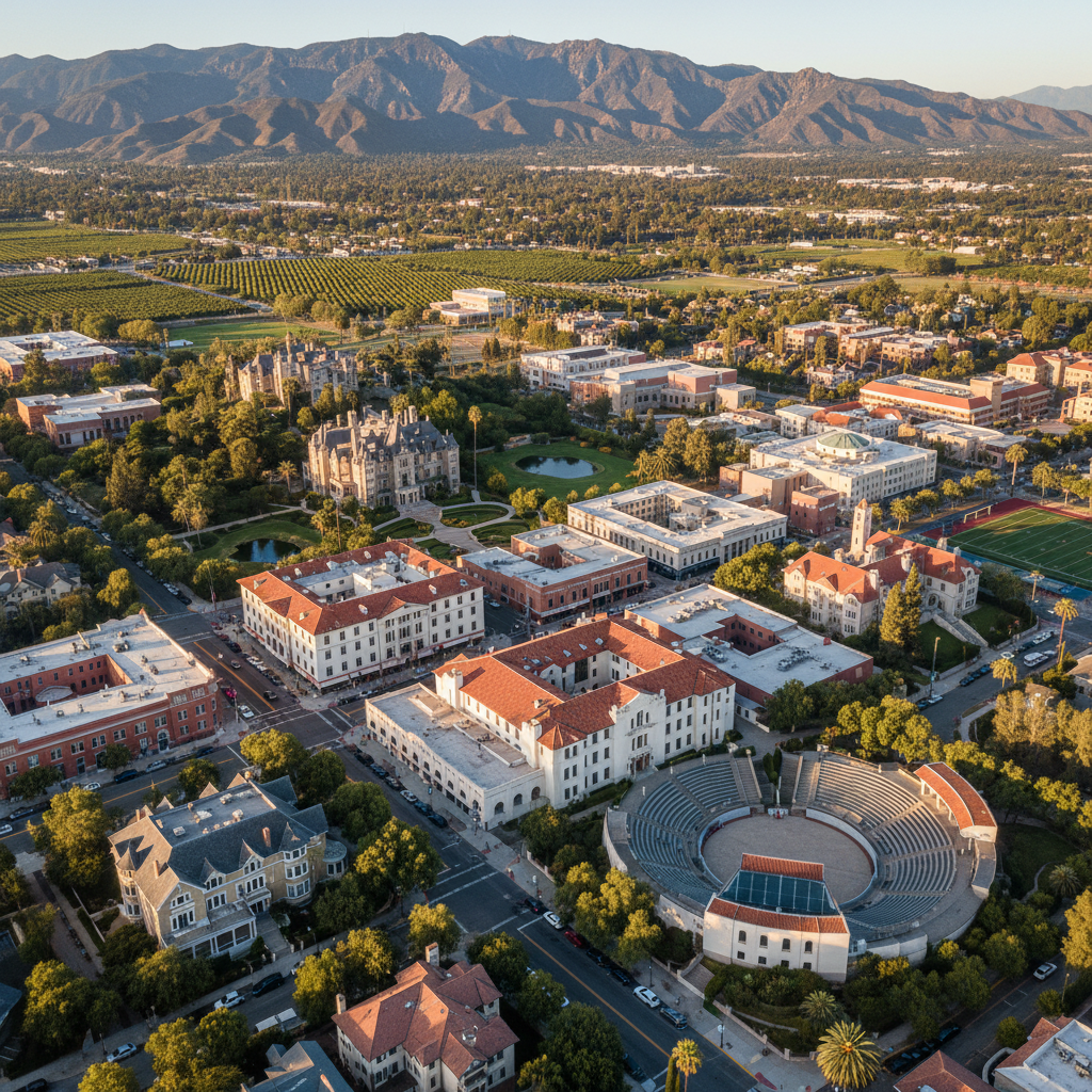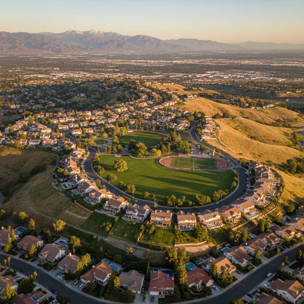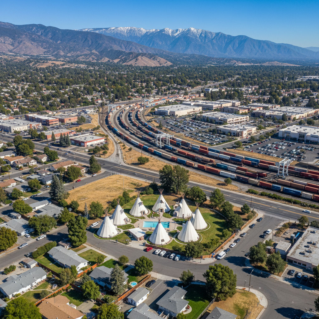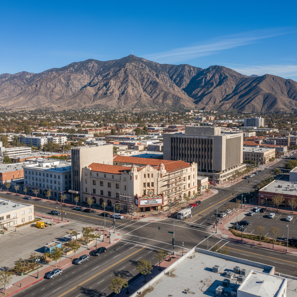
🏛️Downtown San Bernardino
The county seat's revitalizing core — the California Theatre, historic Route 66 alignment, and a downtown undergoing reinvention.

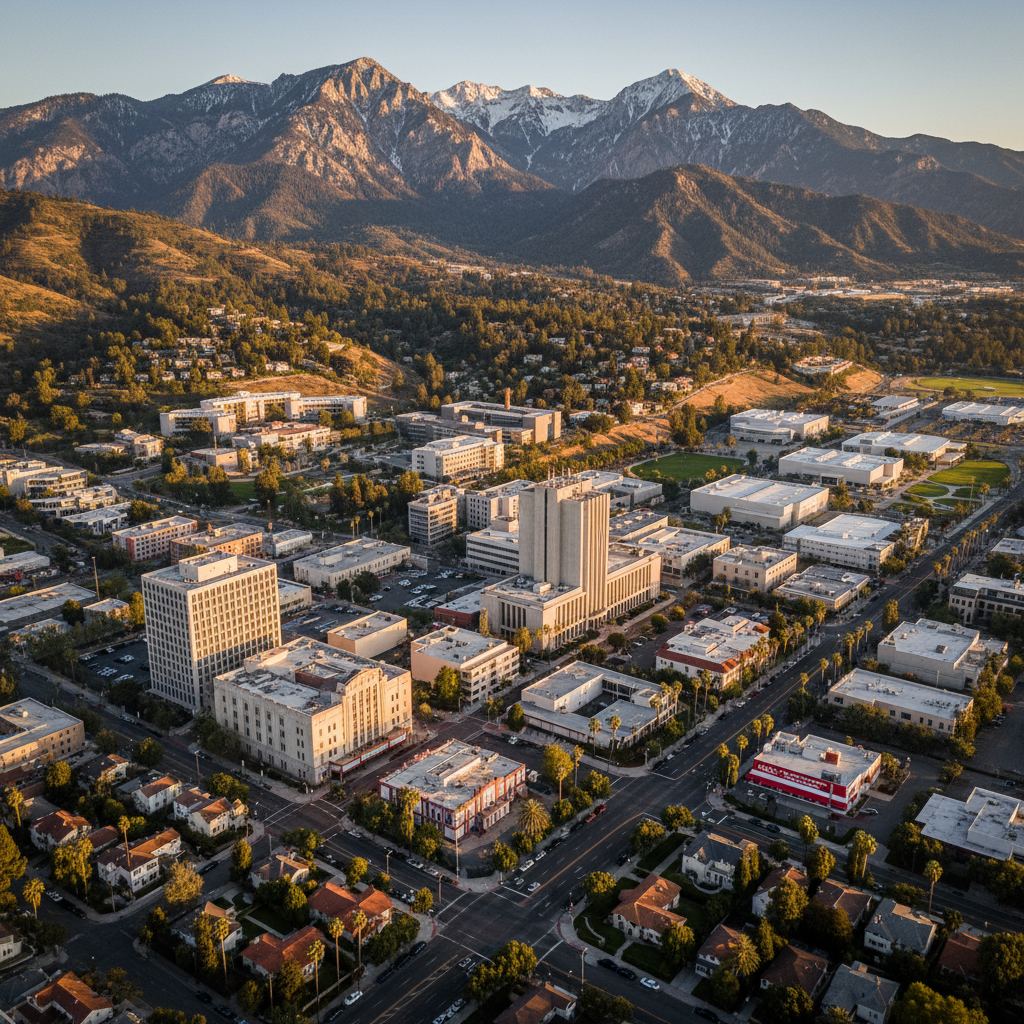
The historic county seat and Route 66 birthplace
County
San Bernardino County
Type
Incorporated City
Population
222,101
Incorporated
1869
San Bernardino is the county seat, birthplace of McDonald's, and the city where Route 66 enters Southern California — historic neighborhoods, Cal State San Bernardino, and a downtown in revitalization.
Founded in 1869 by Mormon settlers, San Bernardino has played a central role in Southern California history. The original McDonald's site is now a museum, the National Orange Show grounds host one of the oldest agricultural fairs in the state, and Cal State San Bernardino anchors the north end of the city.
historic, diverse, route 66
Central San Bernardino Valley
Incorporated City
222,101
1869
Explore the housing market and neighborhoods in San Bernardino — Central San Bernardino Valley.
Best for: historic · diverse · route 66

Open since 1937 — credited by Taco Bell founder Glen Bell as his inspiration. A piece of California food history serving classic Mexican-American.
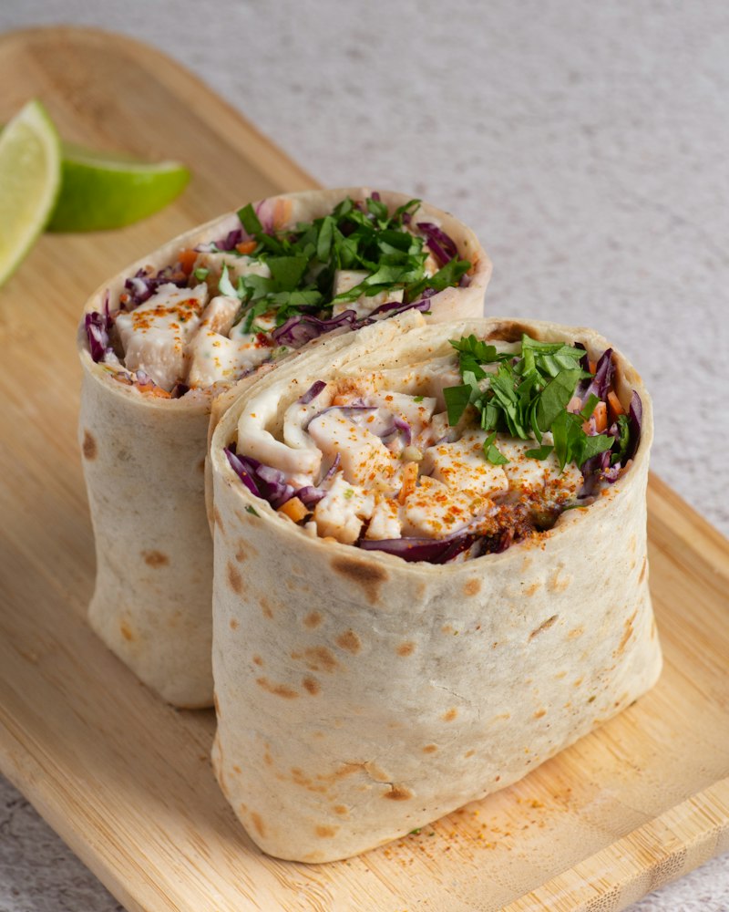
Legendary San Bernardino burrito and Mexican-American — a regional favorite for decades, beloved across the IE.
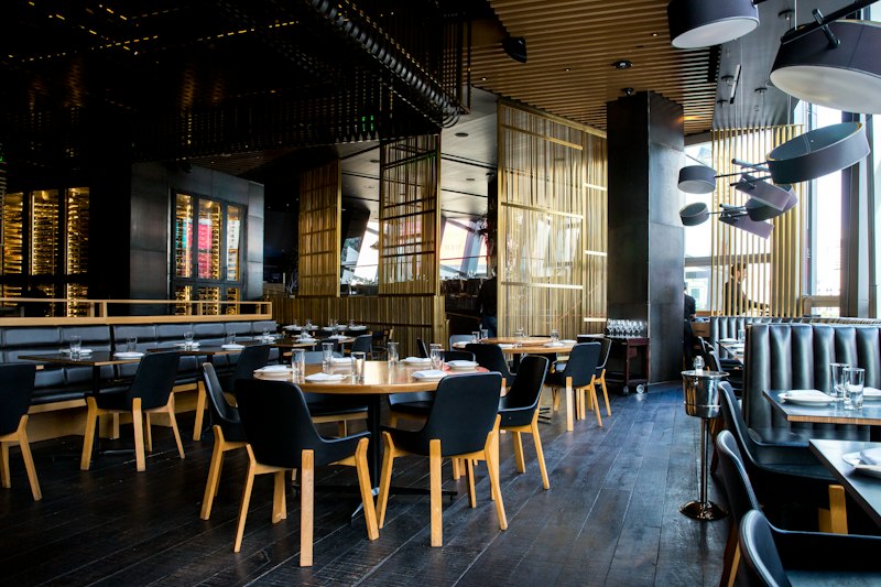
Hilltop dining with sweeping valley views since 1962 — California cuisine, banquet-room romance, and the IE's most iconic view-restaurant.
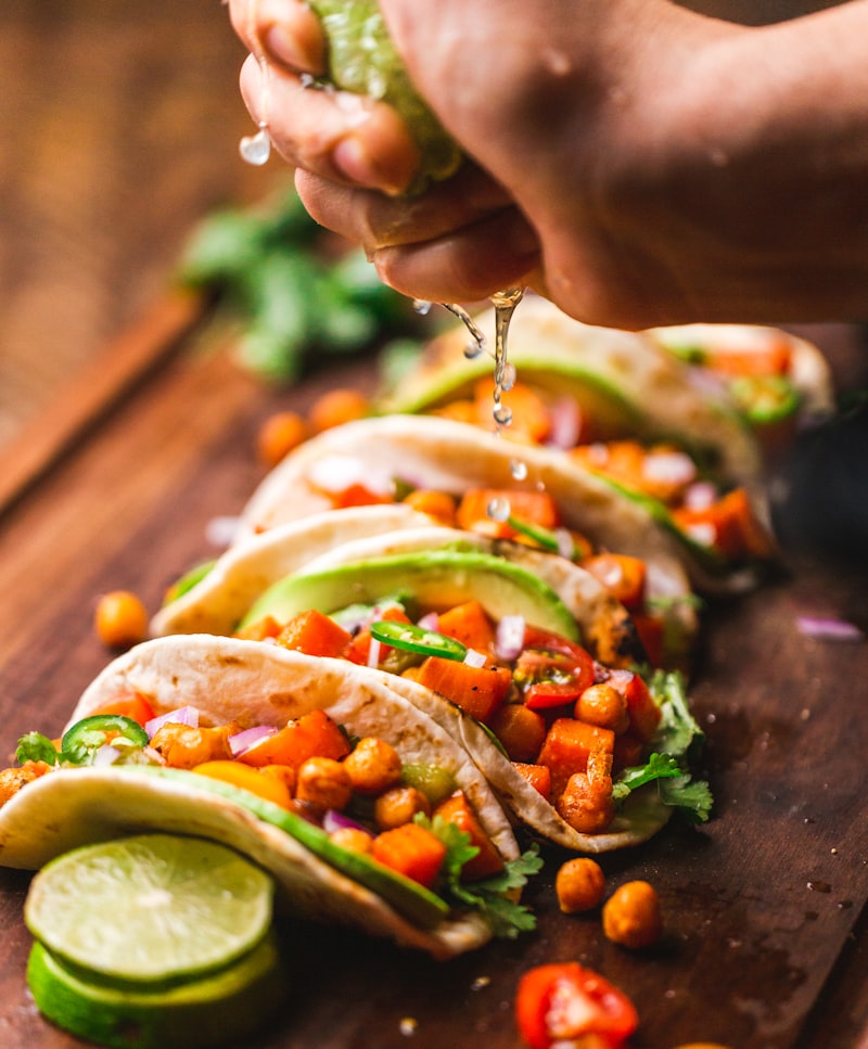
San Bernardino's beloved fish-taco institution — beer-battered fish, hand-cut shrimp tacos, and an IE community favorite for decades.
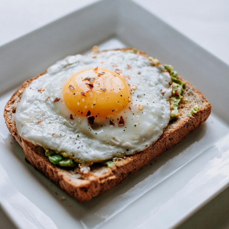
Old-school diner since the 1970s — pancakes, hash browns, and the kind of low-frills breakfast San Bernardino locals have loved for generations.
Family-owned Mexican breakfast and lunch spot — chilaquiles, huevos rancheros, and the IE's most loved Mexican breakfast secret.
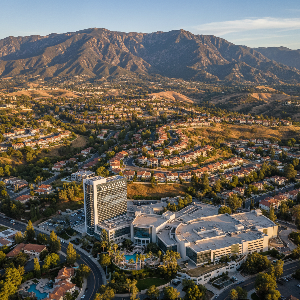
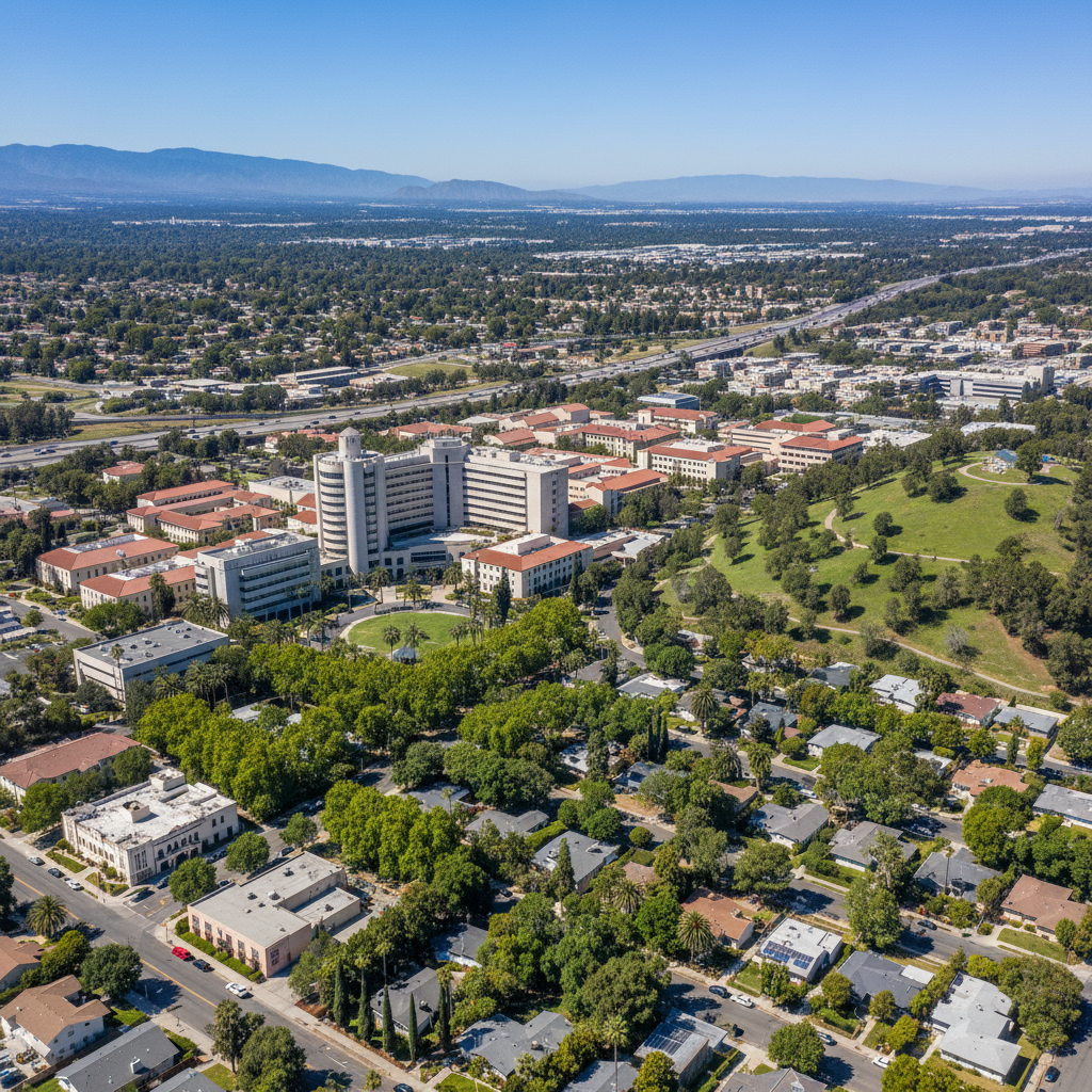
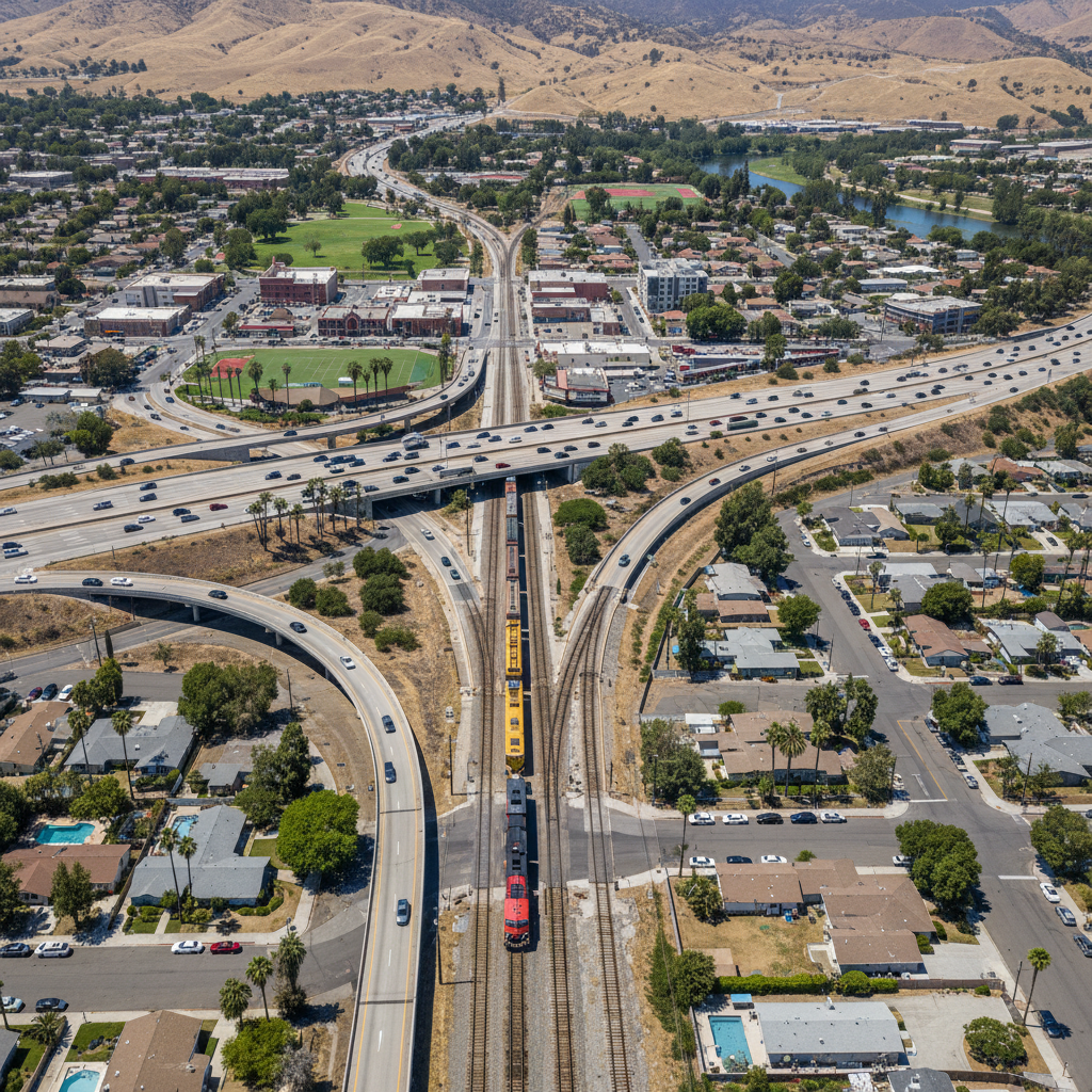
San Bernardino is made up of distinct neighborhoods — each with its own character, housing style, and feel.
🏛️Downtown San Bernardino
The county seat's revitalizing core — the California Theatre, historic Route 66 alignment, and a downtown undergoing reinvention.
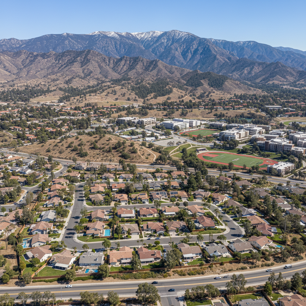
🌲Verdemont
North San Bernardino's foothill neighborhood — Cal State San Bernardino, mountain views, and quieter residential streets.
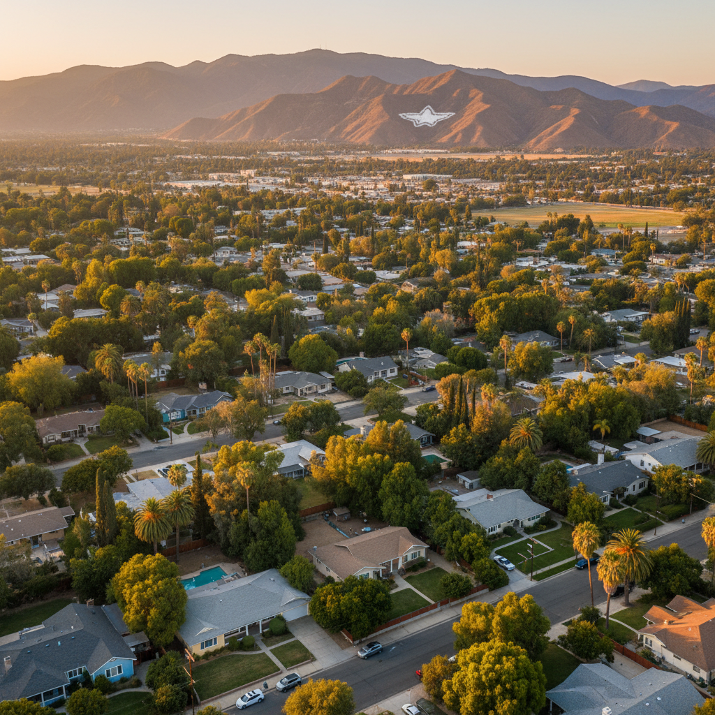
🏛️Arrowhead Farms
A neighborhood within San Bernardino — historic San Bernardino Valley character, citrus-era roots, and Route 66 heritage.
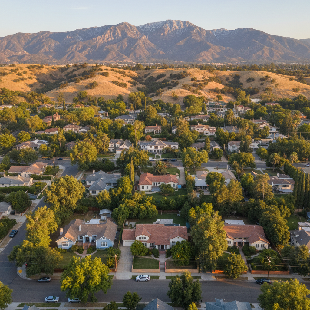
🌹Del Rosa
Historic San Bernardino neighborhood at the foothills — citrus-era roots, mature trees, and a deep local identity.
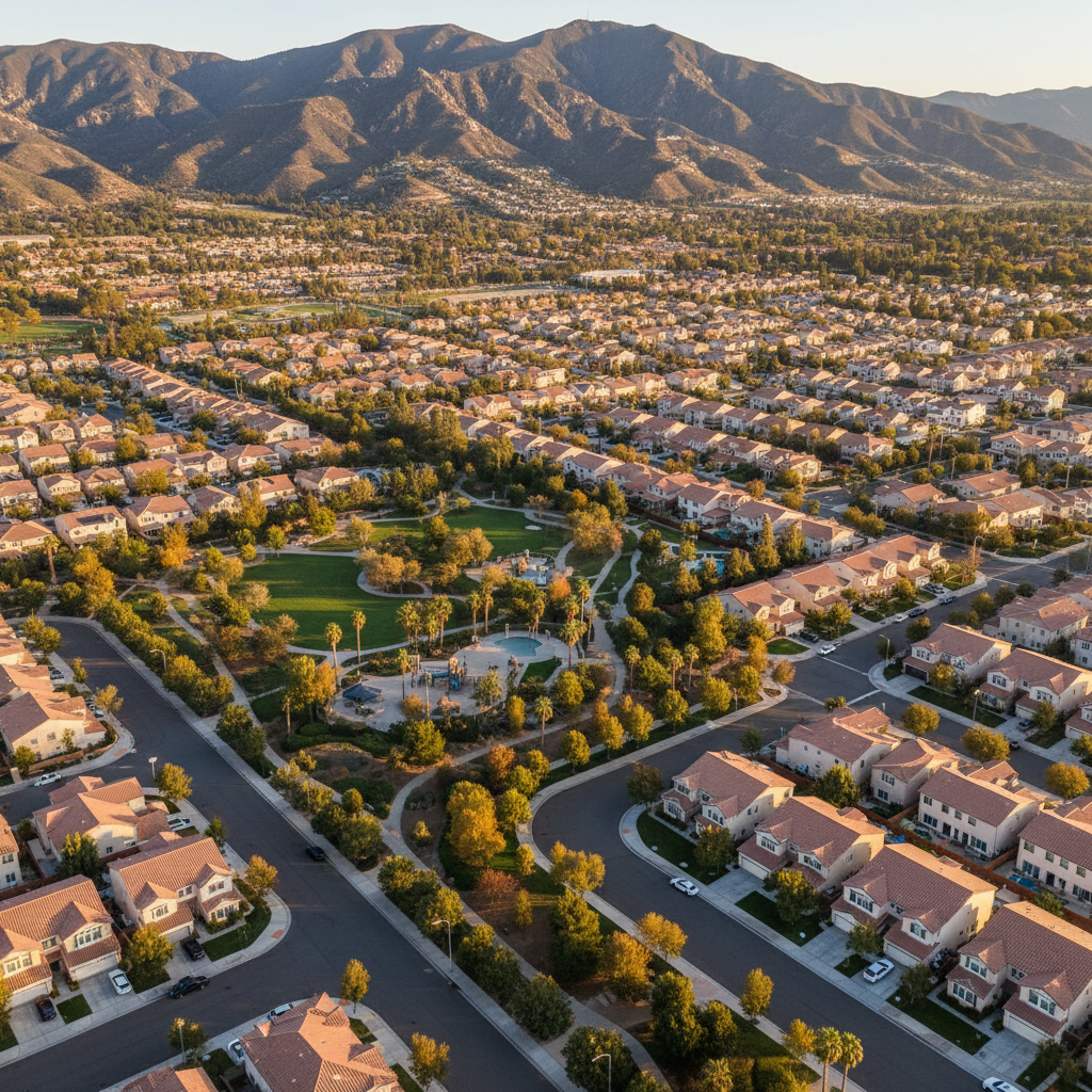
🏛️Northpark
A neighborhood within San Bernardino — historic San Bernardino Valley character, citrus-era roots, and Route 66 heritage.
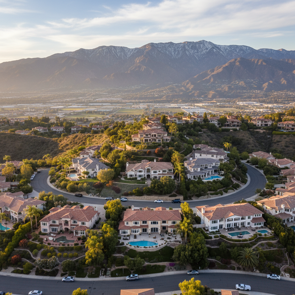
🏛️Highland Hills
A neighborhood within San Bernardino — historic San Bernardino Valley character, citrus-era roots, and Route 66 heritage.
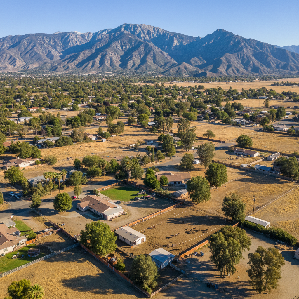
🏛️Muscoy
A neighborhood within San Bernardino — historic San Bernardino Valley character, citrus-era roots, and Route 66 heritage.
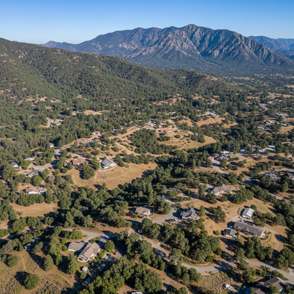
🏞️Devore
Northwest San Bernardino — the Devore amphitheater, Cleveland National Forest access, and a more rural feel.
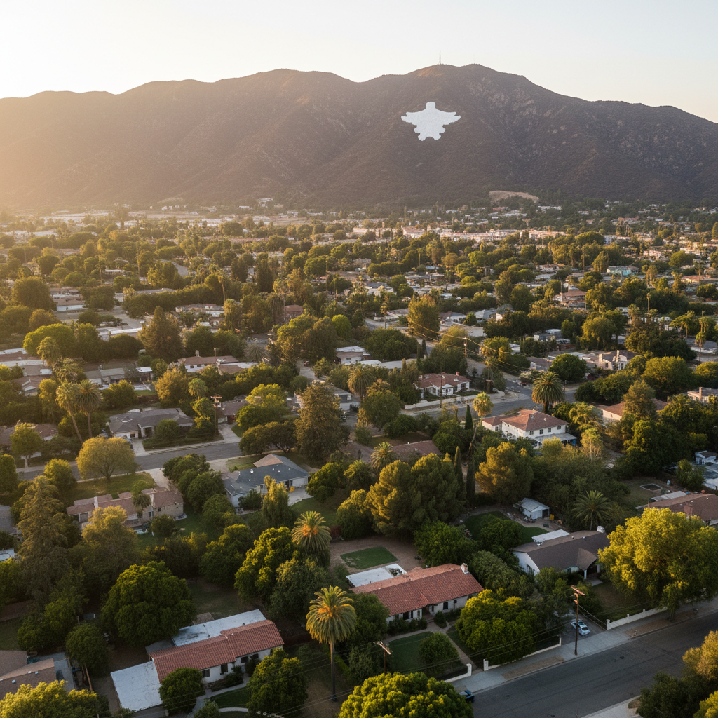
🌾Arrowhead Suburban Farms
Historic San Bernardino neighborhood — citrus-era homes, larger lots, and views toward the Arrowhead landmark.

Questions about living in San Bernardino?
Connect with Chris Rodriguez — a local Realtor with 12+ years of SCV experience — for personalized guidance on homes, schools, and neighborhood fit.
Everything IE is your premium guide to the Inland Empire — Riverside County and San Bernardino County. Events, restaurants, parks, schools, mountains, lakes, sports, and more — sourced from official departments and trusted institutions, curated for the people who call the IE home. Part of the Everything California network.
Explore More of California
The Everything Network — 16 California Regions